
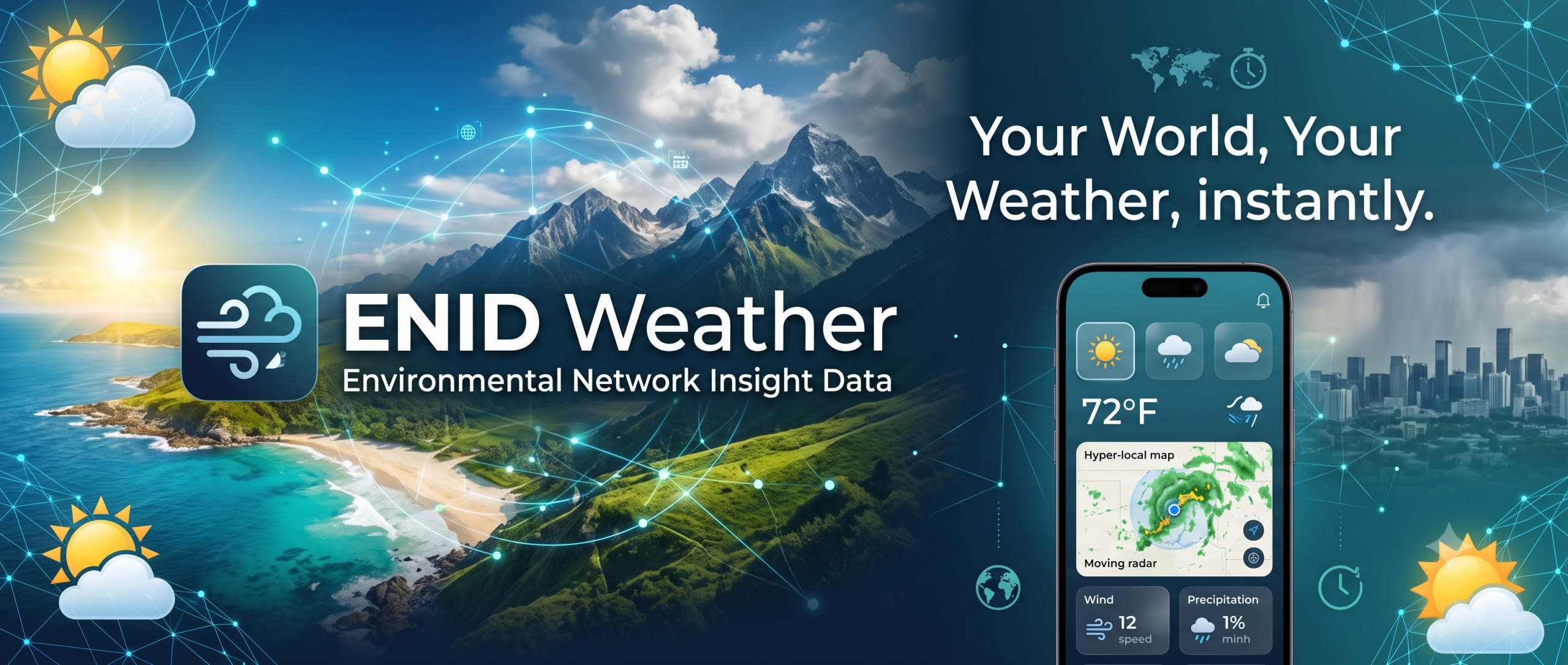
NEXT-Generation Environmental Intelligence
Multi-layer imaging radars, nationwide live camera feeds, mission-critical government alerts, and dedicated storm chasing telemetries—all unified in one database.
Launch Web PlatformComprehensive Environmental Telemetry
Direct integration with NOAA, the National Weather Service (NWS), and specialized sensor networks across the United States.
Multi-Layer Imaging Radars
High-resolution reflectivity, velocity, and dual-polarization radar layers. Slice through severe storm cells with real-time volumetric data.
USA Camera Network
Access thousands of live streaming and still-frame Department of Transportation, weather, and environmental cameras positioned across the entire USA.
NOAA / NWS Alerts & News
Instant push notifications for Severe Thunderstorm, Tornado, and Flash Flood warnings directly from government weather dissemination pipelines.
Field Operations
Dedicated Storm Chasing Mode
Built for active spotters, chasers, and researchers. Track intercept vectors, monitor localized mesoscale environments, share real-time visual reports, and log your field observations directly into the centralized ENID Weather database.
- Real-time chaser position sharing & team synchronization
- Rapid field data logging (hail size, wind estimates, rotation)
- Direct upload to the ENID historical storm database
Life-Safety Emergency Button
When severe weather strikes and you need immediate rescue or assistance, activating the Emergency Button turns your device into a survival beacon.
Displays exact GPS coordinates & nearest physical address instantly.
Forces your device screen to 100% full brightness for visual signaling.
Direct one-tap prompt to connect with local emergency dispatchers.
⚠️ NOTE: REQUIRES ACTIVE CELLULAR/WIFI DATA AND/OR GPS HARDWARE DATA TO OPERATE.
VIEW FULL EMERGENCY SYSTEM DETAILS
Development Roadmap
ENID Weather is continuously expanding its platform capabilities for meteorologists and enthusiasts.
Web Browser Platform
Full desktop and mobile browser access to radars, cameras, alerts, and storm logging.
Android Mobile App
Native Android application with mobile-optimized GPS tracking, notifications, and emergency beacon.
MDT Vehicle Software
Dedicated Mobile Data Terminal (MDT) software optimized for storm chasing car dash mounts and toughbooks.
Future Enhancements
More specialized options and integrations coming down the road.